Client:
TfNSW (Transport for New South Wales)
TfNSW (Transport for New South Wales) link opens in a new tab
Project Owner:
TfNSW (Transport for New South Wales)
TfNSW (Transport for New South Wales) link opens in a new tab
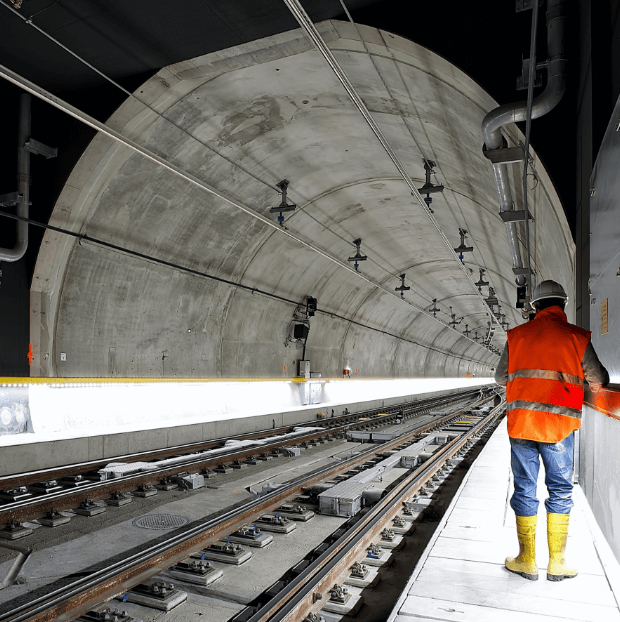
Atlas InSAR ground deformation monitoring, providing historical and real-time movement insights to support safe construction planning for the New England Highway bypass
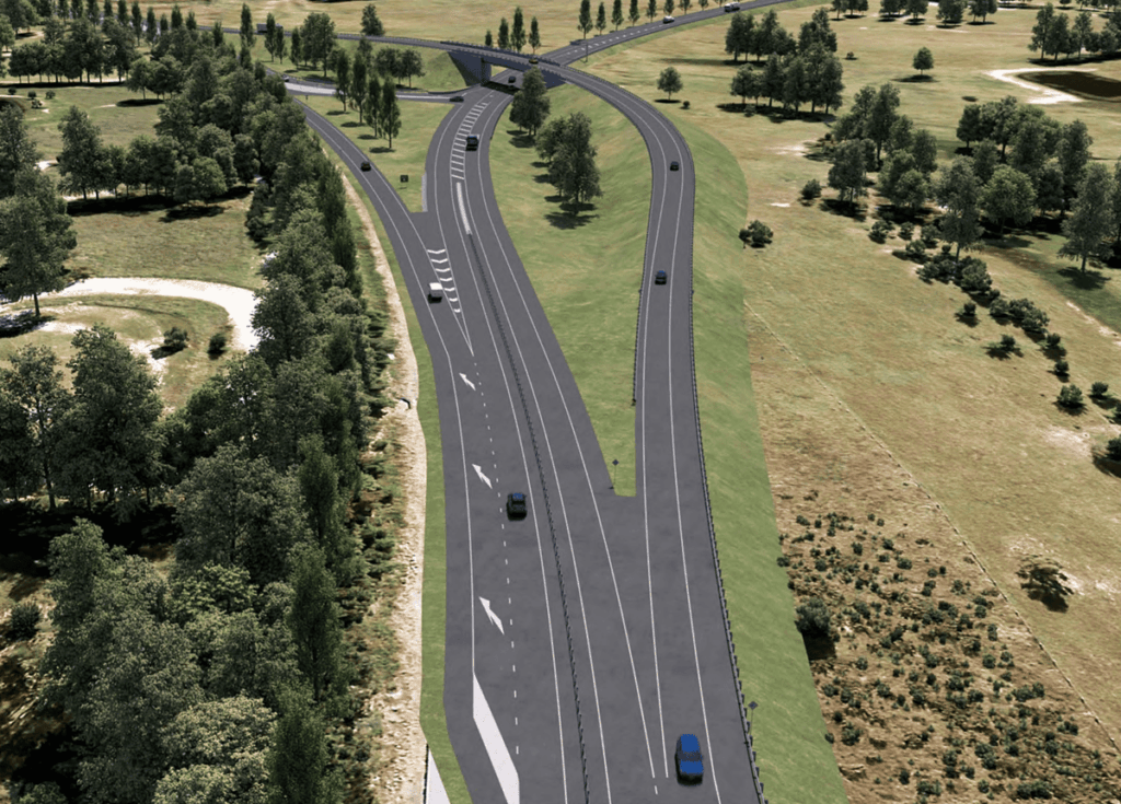
The Muswell Bypass Project
The NSW Government is delivering a Muswellbrook bypass on the New England Highway to improve travel times, efficiency for freight transportation, and overall road user safety. The New England Highway serves as a crucial route for both commuters and freight, connecting Sydney and Brisbane. Currently, the highway passes through Muswellbrook, causing congestion due to intersections and buildings close to the road. The government aims to enhance freight movement along the highway by constructing a bypass, eliminating conflicts between local and through vehicles.
The Situation
The proposed Muswellbrook bypass aligns in proximity to the MCC mine, necessitating cautious attention in that area. TfNSW has contracted Sixense to provide a remote InSAR monitoring service, enabling the evaluation of historical surface movements in the MCC mine vicinity and the examination of their potential impact on the project.
The area of interest, covering approximately 6km of the future Muswellbrook bypass, is part of the broader InSAR study, encompassing a total area of 25km² that incorporates sections of the town, the Waste & Recycling Facility, and the Muswellbrook Open Pit Mine.
What We’ve Delivered
ATLAS InSAR has been successfully applied to a section of 6Km of the future Muswellbrook bypass to provide an alternative, efficient and sustainable remote monitoring system to support the activities related to the infrastructure prior to the initiation of the construction works.
Historical study has been conducted from May 2015 to December 2022. It provides valuable information regarding past ground displacements, facilitating the assessment of potential ground movements that may affect the area of interest during the pre-construction phase of the bypass.
Study results are accessible online via the Beyond Monitoring platform, which provides a comprehensive toolset for visualising and analysing InSAR data.
Images of the project

InSAR measurement points
high-resolution SAR images
Similar projects