Client:
Downer - Soletanche Bachy JV
Downer - Soletanche Bachy JV link opens in a new tab
Project Owner:
Auckland Transport
Auckland Transport link opens in a new tab
Real-time structural monitoring with patented reference-linking safeguarding Britomart Station’s heritage integrity during underground tunnel works
About the Project
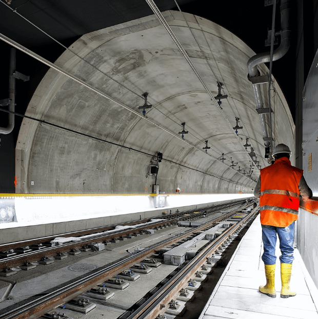
The City Rail Link is the largest transport infrastructure project ever to be undertaken in New Zealand. It includes a 3.45km twin-tunnel underground rail link up to 42 metres below the city centre transforming the downtown Britomart Transport Centre into a two-way through-station that better connects the Auckland rail network.
It extends the existing rail line underground between Britomart and Mount Eden Railway Station. Two new underground stations are constructed to serve the city centre and Mount Eden Station is completely rebuilt with four platforms to serve as an interchange between the new CRL line and the existing Western Line.
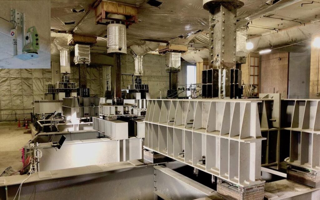
The Contract 1 (C1) consists of the construction of the tunnels under the Chief Post Office (Photo) and involved a load transfer of the supporting columns of the building allowing for excavation underneath. It required real-time monitoring with millimeter accuracy to guarantee the integrity of the heritagre structure.
Challenge & Solution
The main challenge when conducting real time 3D survey monitoring in a closed environment is to find stable (unmoving) reference points. The challenge was overcome with the deployment of a network of 7 Total Stations (Cyclops) and the “”Evolution”” algorithm. This patented data processing module allows for linking the Cyclops together and then passing the reference information from one to another. A set of stable reference prisms was then installed outside the building and used to successfully monitor the movements of the interior columns structure during load transfer and excavation.
An extended network of ground water piezometers, tiltmeters, strain gauges and inclinometers were also installed and monitored as part of a comprehensive risk mitigation plan.
All monitoring data was transmited wirelessly to a cloud database for processing. All information is then displayed and reported with the Geoscope platform. (Photo)
Images of the project

Cyclops in network
Inclinometers
Strain gauges
Piezometers
columns with load transfer
Similar projects