Client:
Auckland Council
Auckland Council link opens in a new tab
Project Owner:
Auckland Council
Auckland Council link opens in a new tab
AI-powered InSAR ground deformation analysis equipping Auckland Council with climate-resilience insights across 450km² to protect 500,000 properties from soil expansion risk.
Climate Emergency
Like the rest of the world, the Auckland region is expected to experience increasing temperatures in the future, which may lead to a variety of consequences. Due to a warmer atmosphere’s ability to hold more moisture, rainfall intensity is projected to rise, potentially causing more severe flooding. This could have far-reaching impacts on the infrastructure, properties, health, safety, and the local economy. With additional effects due to raising of sea level, Auckland Council has declared a climate emergency and established a plan to prepare Auckland for the impacts of climate change.
The situation
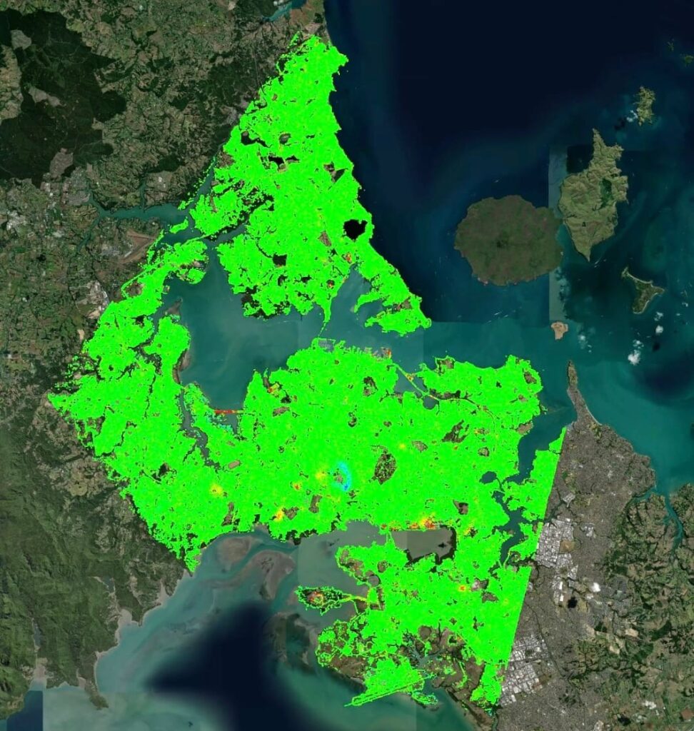
Auckland Council was actively seeking proposals to enhance their response to the escalating risks posed by climate change in the Auckland region. They aimed to find a project contractor equipped with industry-leading technology and proven experience in accurately monitoring ground deformation activity and more specifically soil expansivity. This undertaking required the adoption of algorithms, artificial intelligence (AI), and machine learning. In line with these requirements, Sixense was contracted to provide the Council with accurate data to address climate-related challenges and guide their decision-making processes, using satellite-based Atlas-InSAR technology.
What we’ve delivered
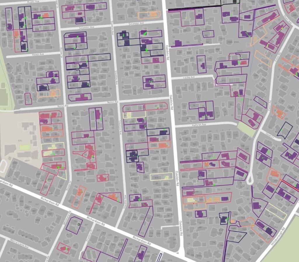
Sixense delivered Atlas-InSAR ground deformation monitoring and reporting services to Auckland Council along with advanced data analytics to extract solid expansivity information from the “”big data”” set. The InSAR study between August 2019 and May 2023 covered a comprehensive area of up to 600 km², which included 450 km² of predominantly urban regions. Sixense’s Atlas InSAR processing chain produced 7.6 million time-series data points that were analysed with data science techniques to locate motion related to expansive clays swelling. The integration of cadastral data allowed to identify the structures most likely to be impacted by climate change.
ATLAS InSAR data demonstrated exceptional effectiveness in detecting and monitoring ground deformation, particularly in expansive areas with diverse scenarios.
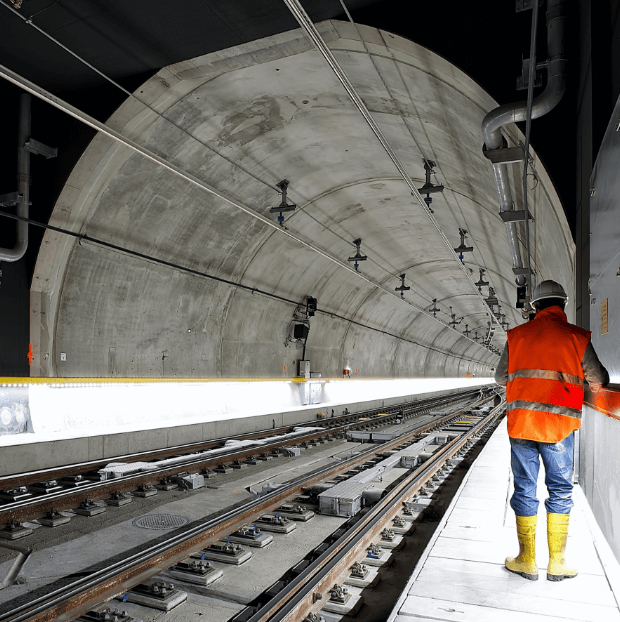
Images of the project
InSAR measurement points
TerraSAR-X SAR dates
km², Area of monitoring
Buildings/houses analysed