Client:
SPARK-JV (WeBuild, GS Engineering and Construction, CPB Contractors, China Construction Oceania, Ventia, Capella Capital, John Laing Investments, DIF and Pacific Partnerships)
SPARK-JV (WeBuild, GS Engineering and Construction, CPB Contractors, China Construction Oceania, Ventia, Capella Capital, John Laing Investments, DIF and Pacific Partnerships) link opens in a new tab
Project Owner:
Victoria State Government
Victoria State Government link opens in a new tab
Atlas InSAR ground and building deformation monitoring, delivering historical baseline and ongoing insights for Melbourne’s largest road tunnel project
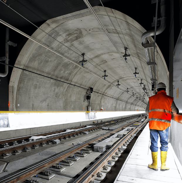
The North East Link Project
The North East Link is not only Victoria’s largest infrastructure initiative but also represents the most significant investment ever made in Melbourne’s north-east region. It aims to bridge the gap in Melbourne’s freeway network between the M1 Eastern Freeway (from Springvale Road) and the M80 Ring Road, encompassing approximately 23 kilometres of new motorway. This motorway will include the construction of twin tunnels spanning 6.5 kilometres.
The awarded Primary Package for the North East Link project has been granted to the Spark Consortium. This package primarily focuses on constructing the twin three-lane tunnels, stretching beneath Banyule Flats and the Yarra River.
The situation
For the North East Link (NEL) project, SPARK-JV has contracted Sixense to provide Atlas-InSAR ground & building deformation monitoring services. To provide more insights and correlate data with traditional survey method, SPARK-JV asked Sixense to consolidate all points on given buildings in a single time series.
The North East Link project’s Area of Interest (AOI) is in the north-eastern part of Melbourne, spanning 13.14 square kilometers from Watsonia Station to the Eastern Freeways. It includes an 8.3-kilometer proposed alignment for the North East Link, involving the excavation of two 6.5-kilometer three-lane tunnels connecting the Metropolitan Ring Road (M80) and Eastern Freeway (M3).
What we’ve delivered
Sixense implemented Atlas InSAR technology for satellite data processing, conducting a baseline study over 3 years and 7 months before construction. The study establishes historical movement patterns and assesses long-term ground deformation trends. Routine monitoring and monthly reports continue during construction.
The subsequent routine monitoring scope involves delivery twice a month Atals-InSAR data to support Spark Consortium’s activities for the North East Link (NEL) project. This system includes online access to the Beyond Monitoring™ web platform, optimised for reading and analysing Atlas-InSAR data.
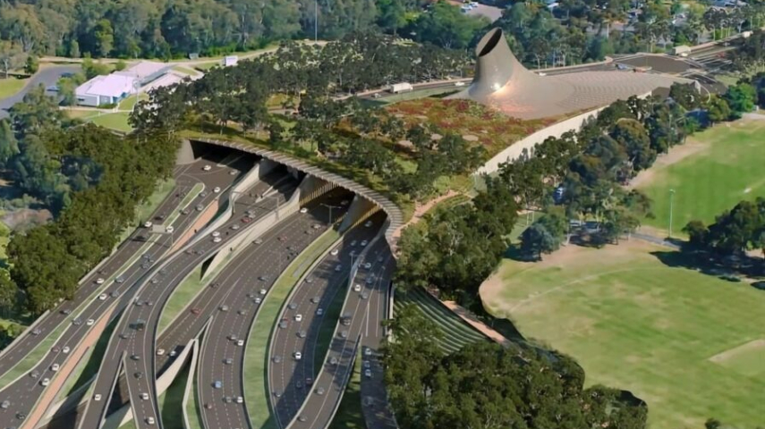
Images of the project
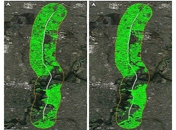
InSAR measurement points
HiRes SAR images (and counting)
Similar projects